The map below is a clickable reference to the counties in Southeast Alberta. Just click on the area of the map where you'd like to find a farmer's market, farm stand, roadside market or garden market! Just press the BACK key to return to the previous page or use the quick links at left!
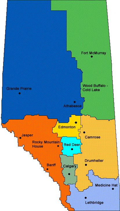
Alberta Regions / Areas Map
Click on your area on the map!
There seems to be no commonly agreed-upon way to organize or subdivide Alberta,
so I've roughly adopted the Indian regions map, as it appears to group areas
by population centers as well as geography.
Yellow = Edmonton area
Light Orange / Tan = Camrose-Drumheller area
Light blue = Red Deer area
Gray = Calgary area
Blue-purple = Southeast Alberta, including Medicine Hat and Lethbridge
Blue = Northwest Alberta, including Grand Prairie and Athabasca
Green = Northeast Alberta, including Fort McMurray
Orange = Southwest Alberta, including Banff, Jasper and Rocky Mountain House
Do you know of any more farmer's markets, farm stands, etc. in Southeast Alberta? Please tell me about them - Click here to write to me! Click here for salad spinners, washers and other popular kitchen produce accessories
Find Other Family Fun:
Local Honey, apiaries, beekeepers
Fun Factory tours: factories, places and operations to tour
Road trips and camping resources
Pick Your Own Farms for fruit, veg
Consumer fraud and scams information
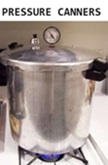
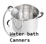
Home canning supplies at the best prices on the internet!
Maple Syrup Farms, sugarworks, maple syrup festivals
Environmental information and resources
Farms For Your Event for birthday parties, weddings, receptions, business meetings, retreats, etc.
Festivals - local fruit and vegetable festivals
Pumpkin patches and corn mazes